This document is provided for general informational purposes only and does not constitute legal, tax, accounting, insurance, brokerage, risk management, or other professional advice. You should consult your own legal counsel or other qualified professional advisors regarding your specific circumstances, and receipt of this document does not create any client, advisory, fiduciary, brokerage, or other professional relationship with Alliant Insurance Services, Inc. This document is provided “as is” without warranty of any kind, and Alliant Insurance Services, Inc. disclaims any liability for any loss or damage arising out of or relating to reliance on this document.
Insight
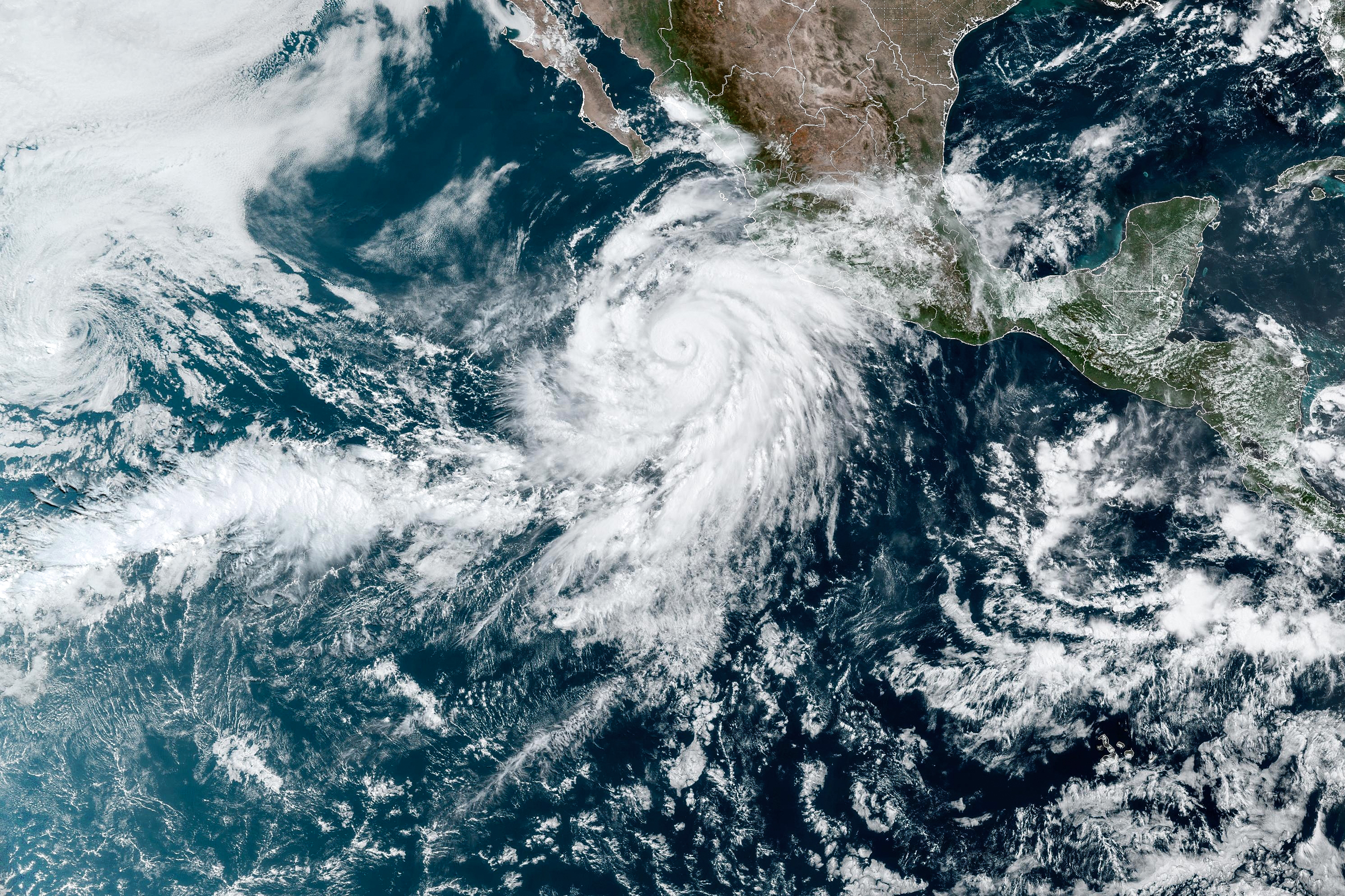
Alliant Bulletin: Hurricane Idalia
By Alliant Property & Casualty
Catastrophic storm surge and damaging winds are imminent along Florida's Big Bend and Northern Florida.
Current status of Hurricane Idalia (as of 5:00 PM EDT, Aug 30, 2023)
Key Developments
- Downgraded Status: Idalia has been downgraded to a Tropical Storm.
- Pressure Trends: The estimated minimum central pressure is 984 mb (29.06 inches).
- Current Observations: Radar data and observations indicate maximum sustained winds of 70 mph (110 km/h).
Summary
- Location: Latitude 32.2N, Longitude 81.7W
- Proximity: About 40 miles W of Savannah, Georgia; About 115 miles WSW of Charleston, South Carolina
- Maximum Sustained Winds:70 mph (110 km/h)
- Present Movement: NE or 35 degrees at 21 mph (33 km/h)
- Minimum Central Pressure: 984 mb (29.06 inches)
Detailed Observations
- Wind Conditions: A sustained wind of 52 mph (83 km/h) and a gust to 67 mph (107 km/h) were recently reported at the Savannah Entrance Light.
Watches and Warnings
- Changed Warnings: Storm Surge Warnings and Watches have been discontinued along the Gulf coast of Florida and the Georgia coast. Hurricane Warning changed to a Tropical Storm Warning.
- Current Warnings: A Storm Surge Warning is in effect from St. Catherine's Sound, Georgia to South Santee River, South Carolina. A Tropical Storm Warning is in effect up to the North Carolina/Virginia border.
Consequences & Implications
- Storm Surge: There's a risk of life-threatening inundation, particularly in areas where storm surge warnings are still active.
- High Winds: Strong winds are expected to continue across portions of Georgia and the Carolinas.
- Rainfall: Expected to produce 4 to 8 inches of rainfall with isolated maxima up to 10 inches, causing areas of flash, urban, and moderate river flooding.
Final Recommendations
- Immediate Action: Follow evacuation and other instructions from local officials. Risk of life-threatening situations remains high.
- Stay Informed: Keep monitoring updates from your local National Weather Service office for specific information to your area.
For more information please visit Alliant Disaster Recovery.
News & Resources: